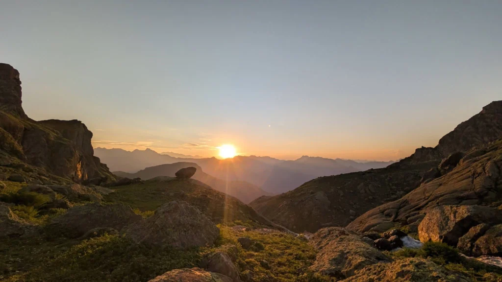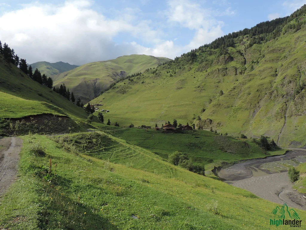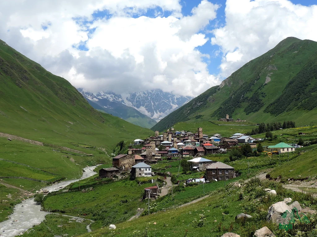
There is a moment on the fourth morning, somewhere above the last of the grass, when you look back down the Khonischala and understand that the way you came is now much further away than the way you are going. Nobody is coming to get you. The horses have gone ahead. There is a col six hundred metres above with old snow on it, and on the far side, two valleys down, a village called Girevi where somebody will sell you a beer.
That is Atsunta. It is not a technical mountain and it does not want you to be a climber. It wants you to be able to walk uphill for seven hours, four days running, sleep badly at three thousand three hundred metres, and get up and do it again in the cold.
The route is old. Khevsurs and Tushetians drove sheep and carried grain over this pass for centuries, in both directions, because the alternative was a fortnight round the outside of the range. What survives at either end are two of the strangest built landscapes in Europe. Shatili is not a village with towers in it; it is a single interlocked fortress of about sixty towers grown into a spur of rock, and people lived inside it until the 1960s. Mutso, a two-hour walk on, is what Shatili would look like abandoned — a citadel stacked up a cliff over the Argun, with burial vaults below it and nobody left to explain them.
Then four days of walking, three of them out of range of any phone. Ardoti, where the last road ends. The Khonischala, narrowing hour by hour until the forest gives up and it is scree and old snow. A camp at 2,800 metres where the cook makes soup and the temperature drops through the evening like something falling. The pass itself at 3,431 metres, and a view along the main Caucasus ridge that goes on until the haze takes it. Then down, and down, into Tusheti through its back door: Girevi, Parsma, Chesho, Kvavlo — tower villages on the Pirikiti side that the jeep crowd never reaches, because the jeeps go to Omalo and stop.
You finish in a guesthouse in Dartlo with a hot dinner and a bed, drive out over Abano the next day, and end up drinking qvevri wine in Kakheti about six hours after leaving the mountains. It is an absurd contrast and everybody who does this trek remembers it.
Book this if you have done multi-day trekking before, you can manage a twenty-kilometre day and a thirteen-hundred-metre climb on consecutive days, and camping at altitude in near-freezing conditions sounds like part of the appeal. Don’t book it if this would be your first long trek, if you need a shower every night, or if you cannot be out of phone contact for four days. We will tell you honestly if we think it is too much — write to us with what you have walked before and we will give you a straight answer.
What you’ll see
Tour highlights
- Atsunta Pass, 3,431 m. One of the highest walking crossings in Georgia and the watershed of the Greater Caucasus. Ridge after ridge in every direction, Khevsureti behind you and Tusheti ahead, and old snow underfoot in most seasons.
- Shatili. Around sixty stone towers fused into one defensive block on a rock spur, inhabited until living memory. There is nothing else like it in the Caucasus and you get a whole afternoon in it.
- Mutso. A fortress stacked up a cliff above the Argun gorge, abandoned in the Soviet period and left exactly as it was. An hour’s climb from the road, and the most atmospheric ruin in Georgia.
- The Khonischala gorge. A full day walking up a valley that narrows as it climbs — beech forest, then meadow, then moraine and snow patches. Almost nobody goes in here.
- Three nights under canvas, two of them above 2,800 metres. A camp below the pass and another on the Tusheti side at 3,300 m, with a cook, a fire and more stars than most people have seen.
- The Pirikiti valley on foot. Girevi, Parsma, Chesho, Kvavlo, Dartlo — the Tushetian tower villages you reach by walking down into them, not by driving up. Some are lived in by two families; some only in summer.
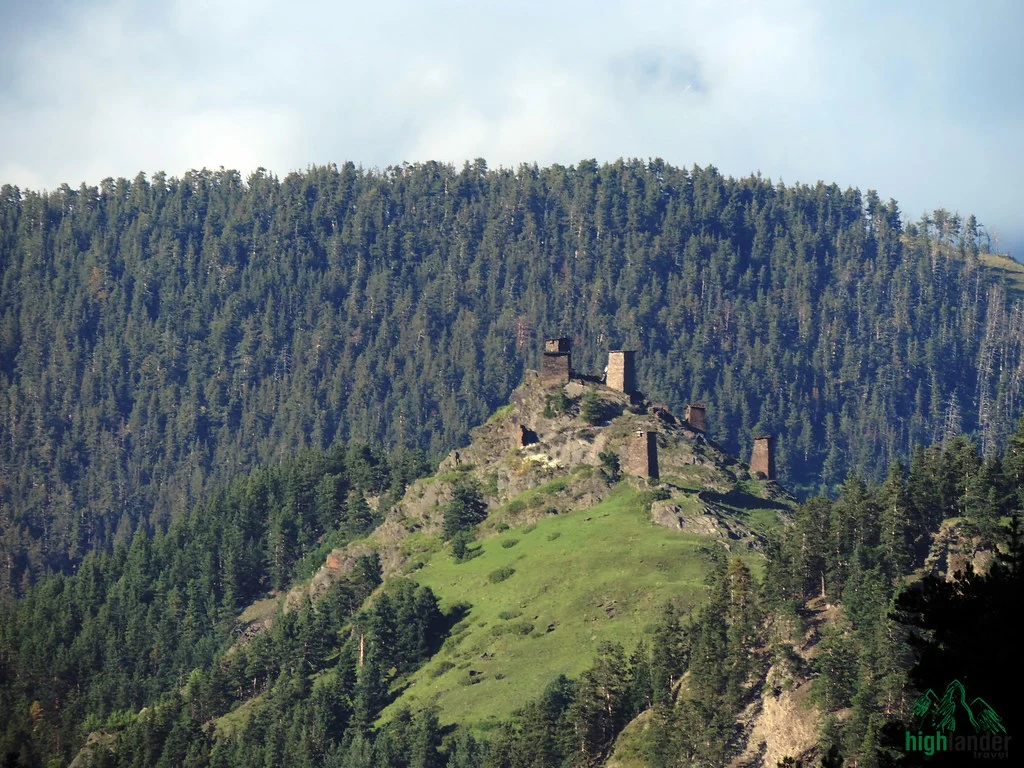
- Keselo, above Omalo. The tower cluster on the ridge that ends up on every book cover about Tusheti. You walk up to it on Day 6, with your legs already knowing what they did.
- Pack horses from Ardoti onwards. The tents, the food and the heavy kit go on horses with local horsemen whose families have crossed this pass for generations. You carry a daypack.
- Two highland cultures in one week. Khevsur and Tushetian — neighbours over one ridge, developed almost entirely apart, and they still do not agree about several things.
- Abano Pass and then wine. The 72-kilometre track down from Tusheti, which is the road everybody photographs from the passenger seat, and a qvevri tasting in Kakheti at the bottom of it.
Step by step
Tour itinerary
Day 1 · Tbilisi — Datvijvari Pass — Shatili
Driving 4–5 hours · about 2 km on foot in Shatili · max 2,676 m at Datvijvari · lunch and dinner · guesthouse in Shatili
North out of Tbilisi, up the Aragvi, and then off the good road. The last stretch climbs to Datvijvari at 2,676 metres, which is where Khevsureti begins in the only sense that matters: from the top you can see that everything ahead of you is valleys and ridges and nothing else.
Down the other side to Shatili. It takes a few minutes to work out what you are looking at, because it does not read as a village — it reads as one enormous stone building that happens to have grown roofs and windows. Roughly sixty towers, built into and onto each other on a spur above the Argun, so that you could move through the whole settlement without stepping outside. People lived in it until the 1960s. We spend the afternoon walking through it, up staircases cut into the rock and along passages a shoulder-width wide.
Dinner and bed in a guesthouse. Eat well and repack tonight — this is your last proper bed for four days, and tomorrow morning you split your kit into what goes on your back and what goes in the vehicle.
Day 2 · Shatili — Mutso — Ardoti
About 20 km on foot · 7–8 hours · 1,400 m to 1,500 m, via Mutso at roughly 1,600 m · full board · camp near Ardoti
The longest day of the trek, and the one to be sensible about from the first hour.
An hour up from the road brings you to Mutso, and you will want longer there than the schedule allows. The fortress climbs a cliff face in four or five tiers above the Argun gorge, towers braced against each other, doorways opening onto drops. Below the walls are the burial vaults. The people who lived here left in the Soviet era and the place has been left largely alone since — no ticket office, no railings, just the ruin and the wind coming up the gorge.
From Mutso the path follows the valley south-east towards Ardoti, and the country empties out steadily. Fewer buildings, then no buildings; the trail narrows; the last of the phone signal goes. Your main luggage travels ahead by vehicle, so you walk with a daypack.
Camp at Ardoti at about 1,500 metres, where the road ends and the mountains properly begin. Twenty kilometres is a long first day — drink more than you think you need and let the guide set the pace.
Day 3 · Ardoti — Khonischala gorge — Atsunta base camp
About 15 km · 6–7 hours · 1,500 m to 2,800 m, +1,300 m · full board · high camp below the pass at about 2,800 m · pack horses take over from here
Thirteen hundred metres of climbing, and the day the trek changes character.
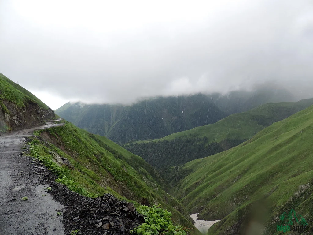
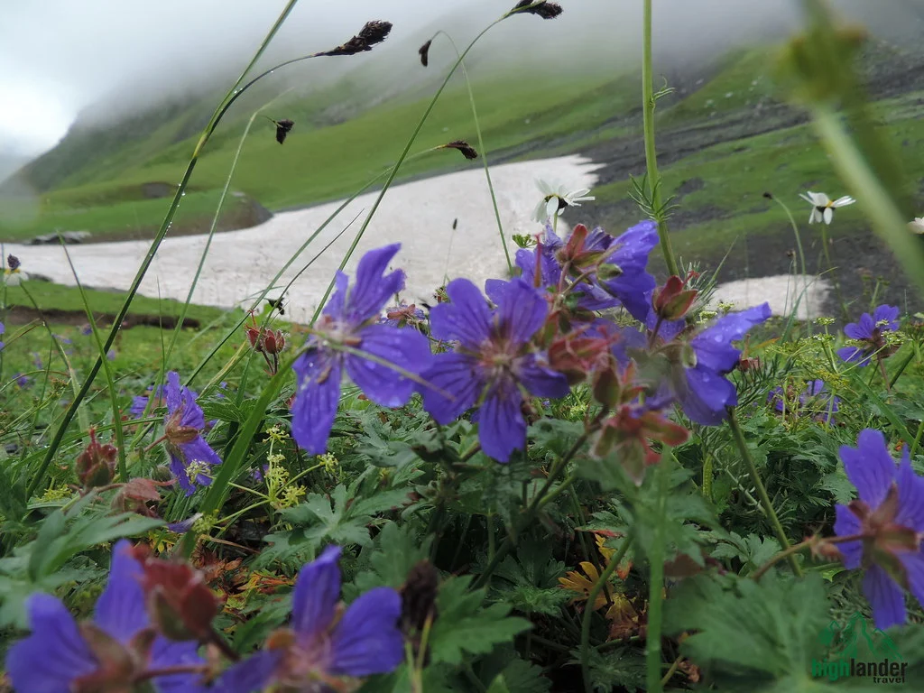
The Khonischala runs up into the range and the trail runs with it. You start among trees, come out into meadow by late morning, and by afternoon you are on moraine with snow lying in the shaded gullies — in July as well as June. The valley closes in as it rises, and the walls get steeper and closer until it feels less like a route and more like a corridor.
The horses join here. Tents, food and the heavy equipment go on their backs from Ardoti onwards, with horsemen from these valleys who have been over Atsunta more times than they could tell you and who will be at camp before you are.
Camp at around 2,800 metres, peaks on three sides, and the notch of tomorrow’s pass visible above. The cold arrives quickly once the sun goes off the slope. This is the night your sleeping bag rating matters — bring one good to −10 °C, or rent ours.
Day 4 · Over Atsunta Pass, 3,431 m
About 10 km · 7–8 hours · 2,800 m to 3,431 m to 3,300 m · full board · high camp on the Tusheti side at about 3,300 m
An early start, because weather on the pass is better in the morning and because the guide wants options if it isn’t.
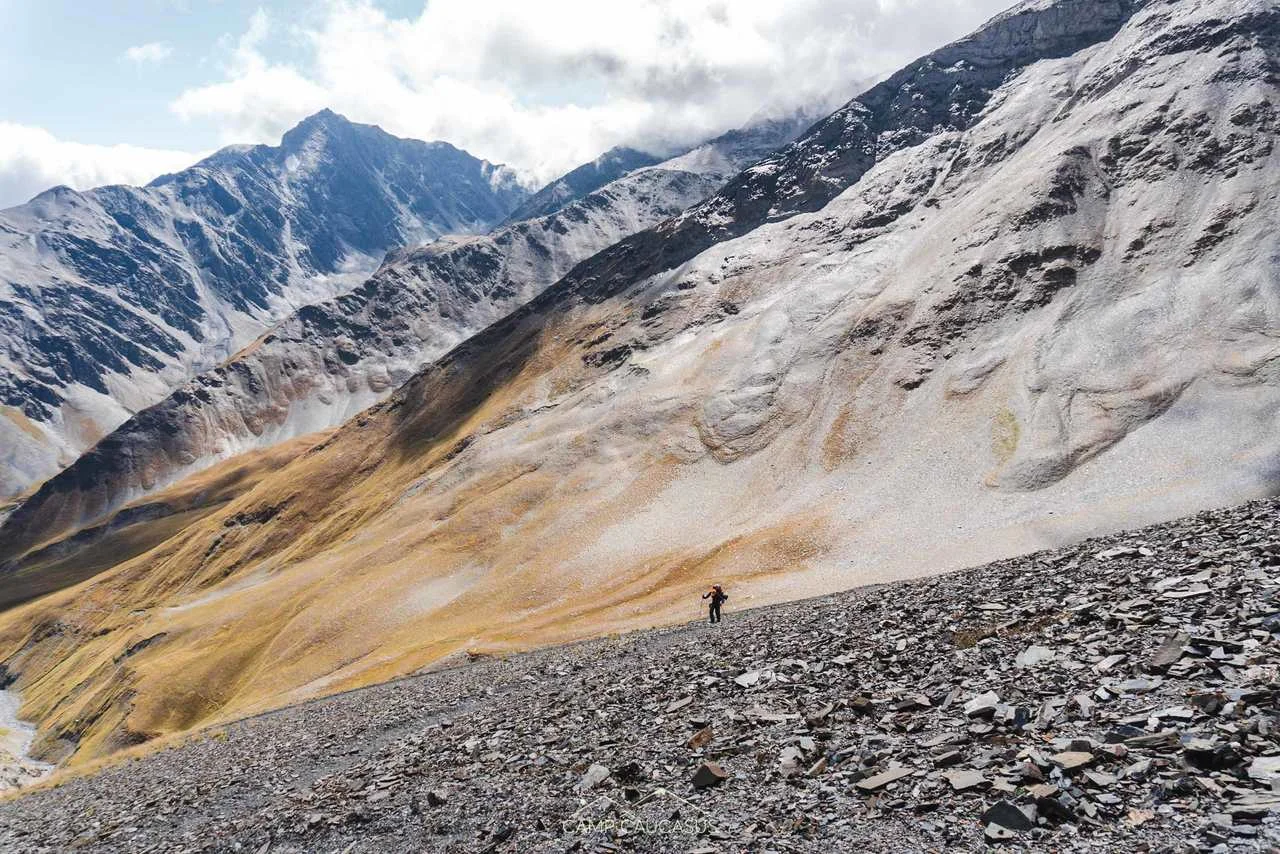
Six hundred and thirty metres up from camp, over rock and scree and whatever snow the season has left. It is not climbing — hands stay in pockets — but it is steep, it is loose in places, and at this altitude your lungs will let you know. Take it slowly. Everyone arrives.
At the top you are standing on the main watershed of the Greater Caucasus with Khevsureti behind you and Tusheti in front, and on a clear day the ridges run out to the horizon in both directions with nothing man-made in the whole view. People stay up here longer than they plan to.
The descent east is careful work on loose ground. We camp just below the pass on the Tusheti side, still at about 3,300 metres — the highest night of the trek, and the coldest — but with the climbing behind you and a very long downhill in the morning.
Weather rules the day. Your guide decides the start time and, if it comes to it, whether the crossing happens at all. On this pass that judgement is the thing you are paying for.
Day 5 · Down to Dartlo through the Pirikiti valley
About 12 km, or 8 km with a vehicle pick-up · full day · 3,300 m down to 1,800 m, −1,500 m · full board · guesthouse in Dartlo
Fifteen hundred metres of descent, which your knees will discuss with you, through the best sequence of villages in Tusheti.
Girevi first, then Parsma, Chesho and Kvavlo. Stone towers over clusters of houses, built when raids came over the passes and defence was a domestic arrangement. Some of these places have two or three families in them; some are only lived in between June and September, when the road from the other side is open. Almost nobody arrives here on foot from the west, which is why walking in feels the way it does.
At Chesho there is the option of a vehicle for the last four kilometres if the legs have had enough. Either way the day ends in Dartlo — the handsomest village in Tusheti, a guesthouse bed after three nights on the ground, and a hot dinner you will remember longer than the view.
From here you are in Tusheti, where pork is prohibited. This is a pre-Christian tradition, it is taken entirely seriously, and it applies to anything you might be carrying. Please don’t bring it in.
Day 6 · Dartlo — Omalo — Keselo — Abano Pass — Kakheti — Telavi
Driving 6–7 hours in total · about 1 km on foot at Keselo · max 2,826 m at Abano · breakfast · guesthouse in Telavi
An hour’s drive from Dartlo to Omalo, then twenty minutes uphill on foot to Keselo — the cluster of towers on the ridge above Upper Omalo that ends up on the cover of every book about this region. Restored, well kept, and worth the climb for the view back into the valleys you walked out of yesterday.
Then Abano. Seventy-two kilometres of unpaved road over a 2,826-metre pass, cut into the side of the mountains, with the drop on your side for a good deal of it. It has a reputation and it earns it. Our drivers do this road all season; sit on the inside if you would rather not look.
At the bottom, Kakheti — and the contrast is the point. Four hours after leaving a village with no road out, you are on a terrace among vines with a glass of amber wine in your hand. We stop at a family winery for a tasting: qvevri wine, fermented in clay under the ground, a method Georgians have used for eight thousand years and which makes white wine that behaves like red. There is time for a walk around Telavi before dinner if anyone still has legs.
Overnight in Telavi. Shower, proper bed, and the first mirror you have seen in a week.
Day 7 · Telavi — Tbilisi
Driving about 2 hours · breakfast
Breakfast, then two hours down through the Kakhetian countryside to Tbilisi, where the trek ends.
Or don’t go back yet. Plenty of people add a day or two out here rather than going straight to the airport — the monasteries at Alaverdi and Gremi, the hilltop town of Sighnaghi, more wineries than you can visit in a week. Tell us when you book and we will build it in.
Starting from
€1,501
per person
Locally operated since 2011
We reply within 24 hours
What your price covers
What’s included
Included
- All transport, including 4×4 vehicles for the mountain roads and the Abano Pass descent
- Licensed English-speaking mountain guide for all seven days
- Local support team and camp cook
- Pack horses and horsemen carrying tents, food and heavy equipment from Ardoti onwards (Days 3–5)
- Luggage transfer by vehicle to Ardoti on Day 2
- Camping equipment — tents and sleeping mats
- Six nights’ accommodation: three nights camping, three nights in guesthouses (Shatili, Dartlo, Telavi)
- All meals as shown in the itinerary — full board on the four trekking days
- Entrance fees
- Qvevri wine tasting at a family winery in Kakheti
- First aid kit and satellite communicator carried by the guide
Not included
- International flights
- Travel insurance — required, and it must cover trekking above 3,000 metres and emergency evacuation. We check this before departure
- Sleeping bag (rated −10 °C or colder). Rental available on request
- Personal trekking gear — boots, clothing, poles, headlamp
- Alcoholic drinks beyond the wine tasting
- Tips for the guide, drivers, horsemen and camp crew
- Kakheti extension, if you add one
Photographs
Gallery
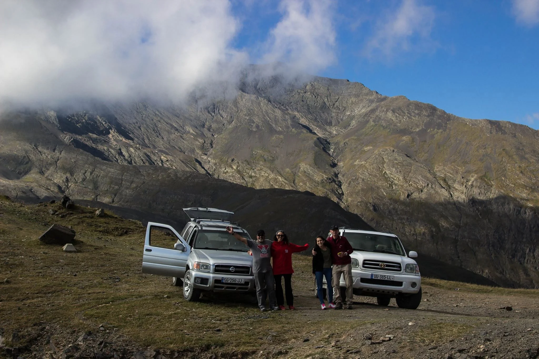
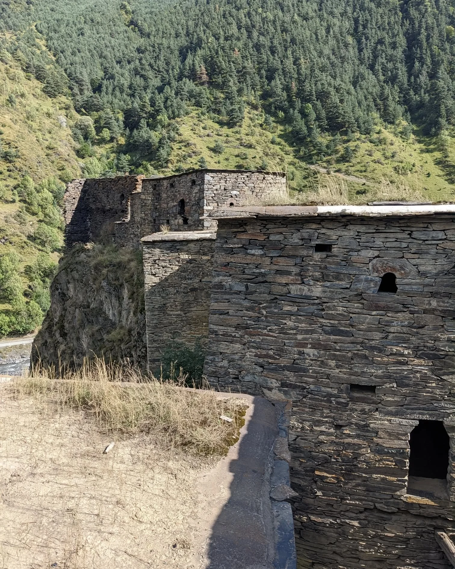
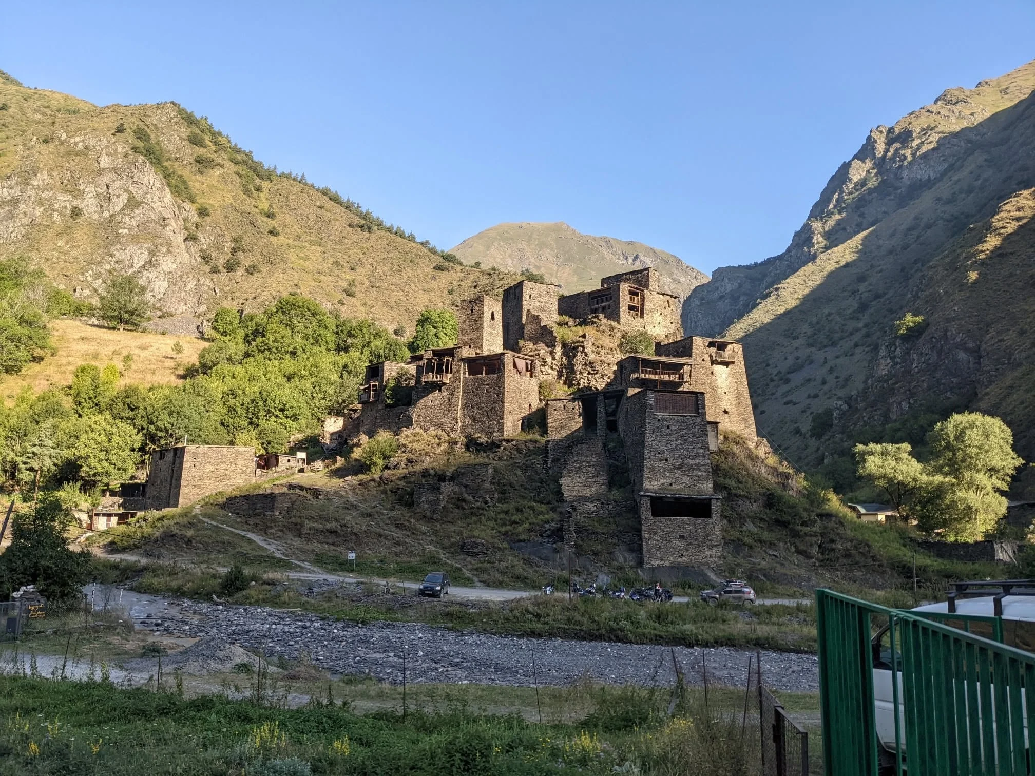
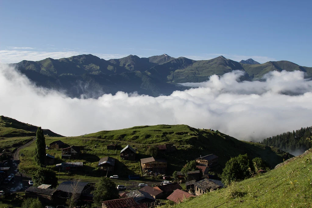
Where you’ll go
Map & route
Practical details
Good to know before you go
Fitness — read this before you book
This is an expedition-grade trek and we would rather lose the booking than take somebody who cannot do it. You need to be comfortable with four consecutive days of six to eight hours’ walking, a 20-kilometre day, a 1,300-metre ascent, steep loose descents, and two nights sleeping above 2,800 metres. Prior high-altitude trekking experience is strongly recommended. Past Ardoti there is no road, no signal and no short way out — the only way to finish is over the pass.
When to come
Late June to early September. Snow can sit on the pass into July in a heavy year; September gives the most settled weather and the coldest nights; July and August are the safest bet.
Where you sleep
| Night | Where | What it is |
|---|---|---|
| 1 | Shatili | Family guesthouse, shared bathroom |
| 2 | Ardoti, about 1,500 m | Camp — tents and mats provided |
| 3 | Below the pass, about 2,800 m | High camp, cold after sunset |
| 4 | Tusheti side, about 3,300 m | Highest and coldest night — near freezing even in August |
| 5 | Dartlo | Guesthouse, hot dinner, a bed |
| 6 | Telavi | Guesthouse or small hotel, private bathroom |
What to bring
Non-negotiable: broken-in mountain boots, waterproof jacket and overtrousers, warm mid-layer, hat and gloves for the high camps, sun protection (there is no shade above the treeline), headlamp, two litres of water capacity, personal medication, daypack.
Sleeping: we supply tents and mats. You bring a bag rated to −10 °C or colder, or rent one from us — tell us at booking.
Strongly recommended: trekking poles, especially for the 1,500-metre descent on Day 5. Also gaiters, camp shoes, a quick-dry towel, a power bank, and more camera batteries than you think.
Pack horses
From Ardoti onwards, horses carry the tents, the food and the heavy equipment, with horsemen from these valleys who know the ground in the dark. You walk with a daypack. It is what makes this route possible for people who are fit walkers rather than mountaineers.
Pork is not permitted in Tusheti
From Day 5 you are in Tusheti, where a pre-Christian prohibition on pork has been observed for centuries and is taken entirely seriously. No pork products may be brought into the region — including anything in your own supplies. This is not a formality and locals will be genuinely upset.
Insurance
Cover for trekking above 3,000 metres and for emergency evacuation is a condition of joining this trek, and we ask to see it. Helicopter rescue exists in Georgia but takes hours to reach these valleys and can be grounded by weather. Standard holiday insurance usually excludes both altitude and evacuation — check the wording rather than the summary page.
Group size and departures
Small groups only. Private departures on request; a two-person departure is priced separately because the guide, the vehicles and the crew cost the same whether two people walk or eight.
Not sure it’s for you?
Two shorter tours reach the same region without the commitment: the 4-day Tusheti hiking tour, and the 3-day jeep tour. Both go over Abano and into the Pirikiti valley, both sleep in guesthouses every night, and both are honest introductions to whether this country suits you.
From our travellers
Reviews
Before you book
Frequently asked questions
How hard is the Atsunta Pass trek, honestly?
Hard. Four consecutive walking days, one of them 20 km, one of them climbing 1,300 metres, a pass at 3,431 metres and two nights camping above 2,800 m. Days run six to eight hours on rough ground. If you have done multi-day treks before and enjoyed them, you will be fine. If you have not, this is the wrong one to start with — and once you are past Ardoti there is no easy way out. Tell us what you have walked and we will give you an honest answer.
What is the highest point?
Atsunta Pass, 3,431 metres, on Day 4. You also sleep at 3,300 m on the fourth night and 2,800 m on the third. Mild altitude symptoms — headache, poor sleep, no appetite — are common and normal at these heights. Drink plenty, walk slowly, and tell your guide how you feel rather than pushing through quietly.
Can beginners do this trek?
No. Prior mountain trekking experience is essential, not a preference. If this would be your first long walk in the mountains, look at our 4-day Tusheti hiking tour or the 3-day jeep tour instead — both reach the same country with a road never far away.
Do I need my own sleeping bag?
Yes. We provide the tents and the sleeping mats; the bag is yours, and it needs to be rated to −10 °C or colder for the two high camps. We rent bags — say so when you book, not on the morning of Day 1.
What do I actually carry?
A daypack: water, waterproofs, a warm layer, snacks, camera. From Ardoti onwards the tents, food and heavy kit go on pack horses. On Day 2 your main luggage travels ahead by vehicle. You never carry a full expedition load.
What if the weather turns?
Mountain weather does what it likes and the pass is exposed. The guide can change the schedule, wait a day, or in serious conditions decide the crossing does not happen — that call is theirs and it is final. Build a spare day into your travel plans if you can.
What happens in an emergency?
Guides carry satellite communicators and a first aid kit. Helicopter evacuation is possible in Georgia but it takes hours to arrange from these valleys and weather can prevent it entirely. This is exactly why travel insurance covering high-altitude trekking and emergency evacuation is a condition of booking, not a suggestion.
Is there phone signal?
Barely. Some coverage in Shatili and around Omalo and Dartlo — Magti is the best network — and nothing at all on the trekking days or at the camps. Tell people at home that you will be uncontactable from roughly Day 2 to Day 5.
What about water and food on the trail?
Our team cooks every meal on the trekking days. Water comes from mountain streams and is treated before you drink it. Carry capacity for two litres and bring your own snacks — everyone eats more than they expect at altitude.
When can this trek be done?
Late June to early September. Snow lingers on the pass into July after a heavy winter, and September gives you the most settled weather but distinctly colder nights. July and August are the most reliable.
What is Shatili?
A medieval fortress-village in Khevsureti and one of the strangest built places in the Caucasus: roughly sixty stone towers merged into a single defensive structure on a rock spur above the Argun. It was lived in until the 1960s. You spend the afternoon of Day 1 walking through it.
What is Mutso?
An abandoned fortress stacked up a cliff above the Argun gorge, an hour’s climb from the road, visited on Day 2. Its community left during the Soviet period and it has been largely untouched since — towers, houses and burial vaults on four or five tiers of rock. The most atmospheric ruin in Georgia.
Why is pork prohibited in Tusheti?
It is a pre-Christian tradition that Tushetians have kept for centuries: pigs are considered unclean and pork is not permitted anywhere in the region. It applies from the moment you cross into Tusheti on Day 5 and it covers anything in your pack. Please respect it.
Can the trek be shortened or extended?
Both. The 20-kilometre Day 2 can be split over two days with an extra night on the way to Ardoti — worth considering if you are capable but not confident, and the single most useful change we can make to this itinerary. At the other end, extra days in Kakheti after Day 6 are easy to add. Ask us and we will price it.
Ready when you are
Tell us your dates and how many of you are travelling. We’ll come back within 24 hours with availability, a confirmed price, and your guide’s name.