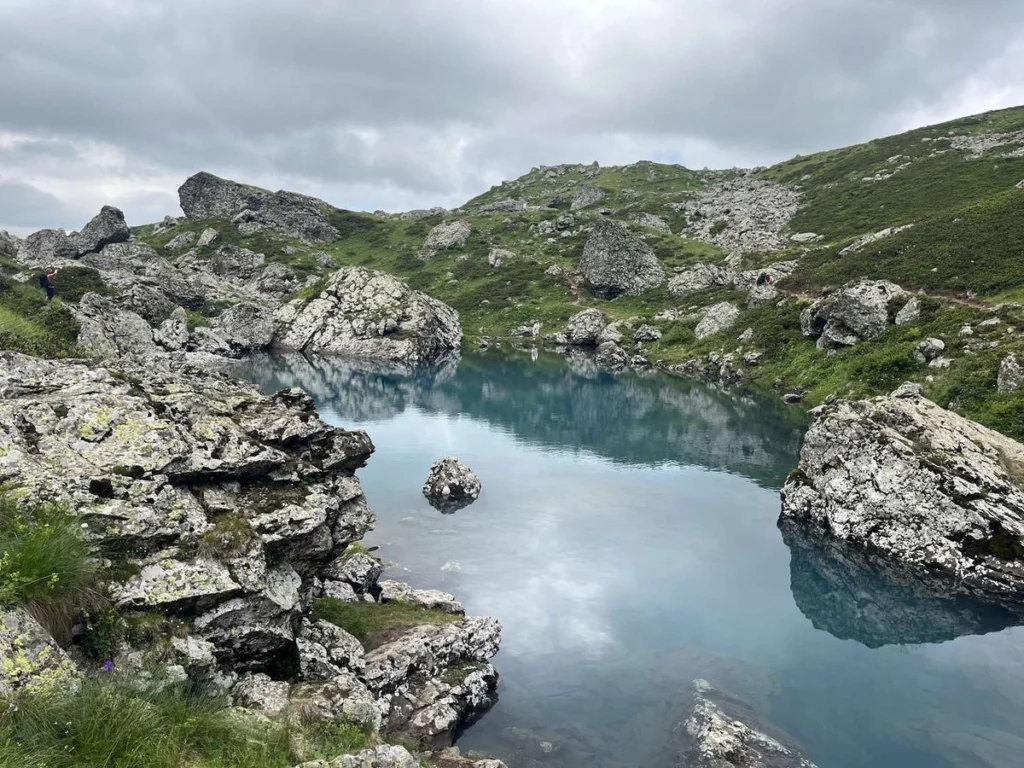
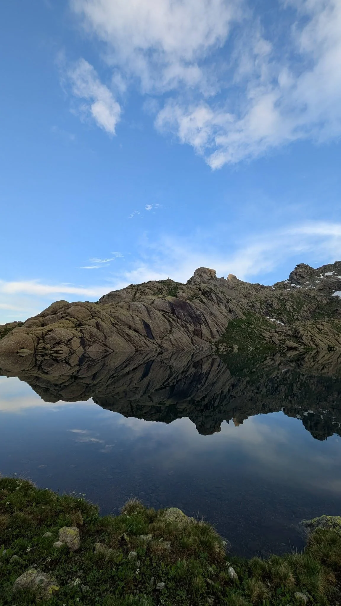
Tobavarchkhili means silver lake in Megrelian, and there are seven of them strung along the spine of the Egrisi Range above the beech forests of Samegrelo. Two are large enough to walk around. The rest are pools you come across by accident, sitting in hollows the ice left behind.
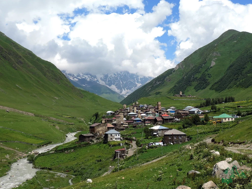
Reaching them takes six days and there is no shortcut. The route runs from Mukhuri in the west to Skuri in the east — about fifty kilometres, most of it above the treeline, almost none of it waymarked. You carry your bed and your dinner. On the third morning you cross a pass at 2,900 metres. And once you have walked past the first camp there is no road, no village and no way out except forwards, which is the honest reason this trek stays quiet while Svaneti fills up.
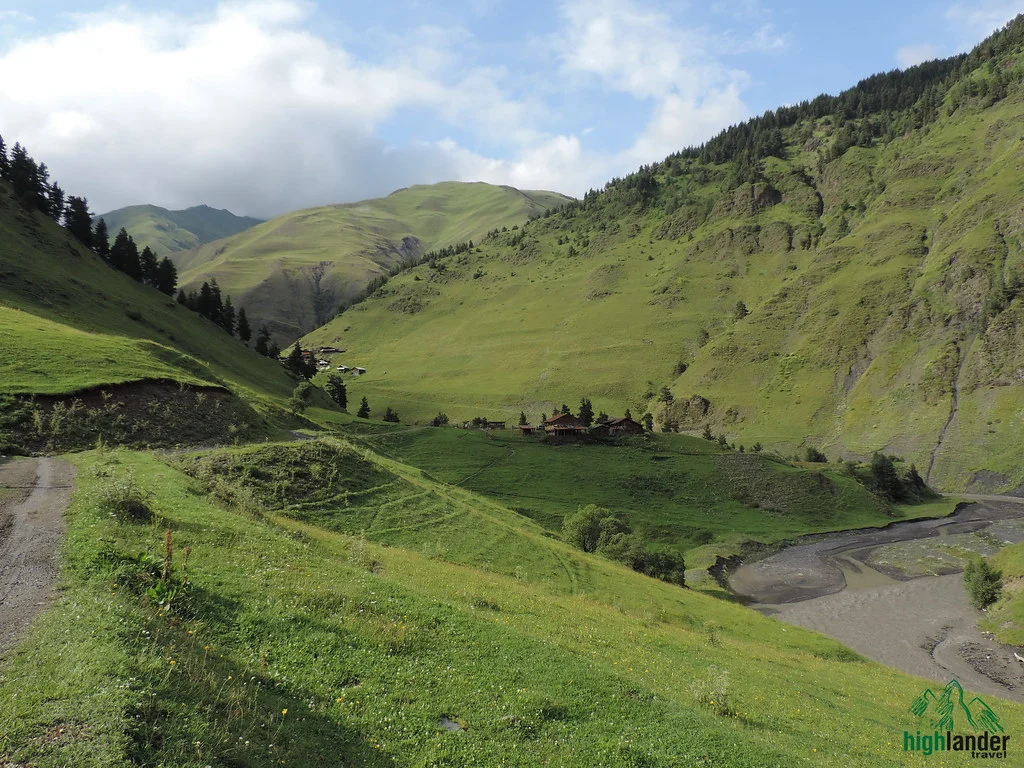
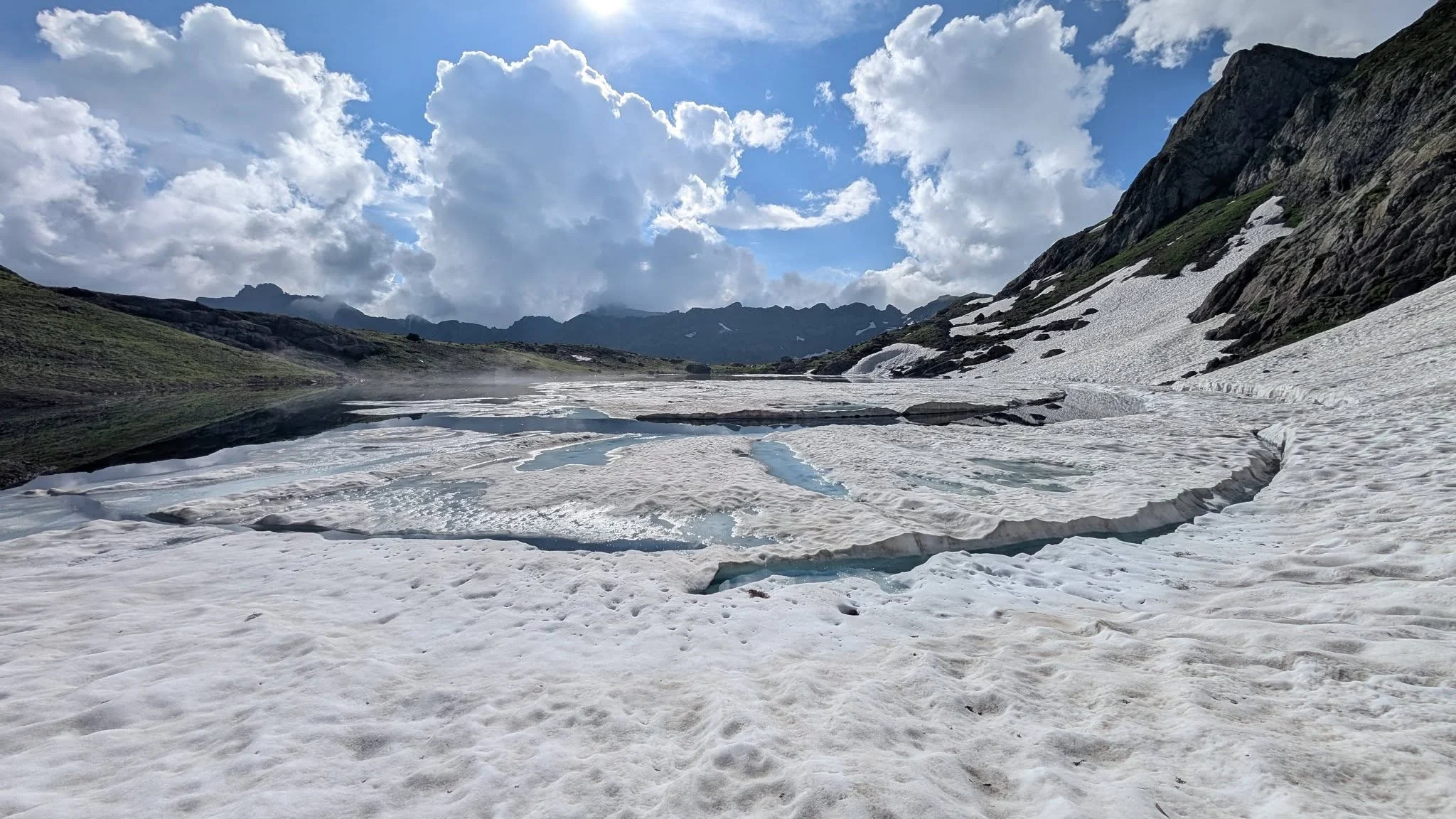
What you get for it is the emptiest high country in Georgia. Beech and chestnut forest on the first day, then alpine meadow, then bare rock and water. Cattle herders at Natifuro in high summer and nobody else at all. On a still morning the lakes take the colour of poured metal, which is where the name comes from, and you will very likely have them to yourself.
A word before you book, because this is the hardest thing we run.
Harder than Atsunta, and not because of the climbing. Fifty kilometres is not far. Doing it with a tent, six days of food and no resupply, over ground where the path disappears for an hour at a time, is a different proposition. The commitment is the difficulty.
You want to be walking six to eight hours a day in comfort before you come — on hills, with weight on your back. If you have done a multi-day trek in Svaneti or Tusheti and enjoyed it, you are ready for this one. If your longest walk this year was a day out, do Mestia to Ushguli with us first and come back for Tobavarchkhili next summer. We would rather tell you that now than on the second morning.
The other thing is the weather. Samegrelo is the wettest region in Georgia and the Egrisi Range catches everything that comes off the Black Sea. We plan for two wet days in six and we are usually right. Waterproofs are not optional here, and neither is a second set of dry clothes sealed in a bag.
What you’ll see
Tour highlights
- Two silver lakes. Tsashkibulish Tobavarchkhili at 2,500 m and Okhoje Tobavarchkhili at 2,650 m, on opposite sides of the range’s highest pass.
- A true point-to-point. You walk in at Mukhuri and out at Skuri. Nothing is repeated and nothing is retraced.
- The 2,900 m pass. Crossed on the third morning, with the whole Egrisi ridge and, on a clear day, the Svaneti peaks behind it.
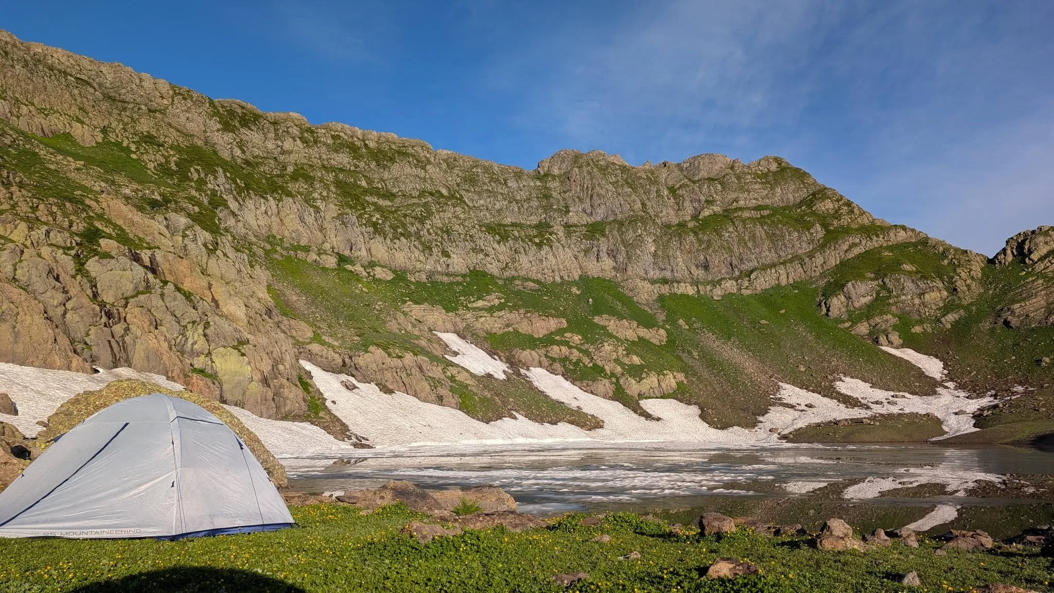
- Five nights camping in places with no buildings — meadow at Natifuro, then two lakeshores, then the descent camps.
- Beech and chestnut forest on the way in and out, some of it old growth, in a region that gets more rain than anywhere else in the country.
- No other groups. The Egrisi Range sees a fraction of the traffic of Svaneti or Kazbegi. In a normal season you will not meet another trekking party.
- A guide who knows the ground. There are no waymarks here. Route-finding above the treeline is the whole job.
Step by step
Tour itinerary
Day 1 — Tbilisi to Mukhuri, and up to Natifuro
A long drive west, about six hours to Chkhorotsku and then the last stretch on rough road to Mukhuri, where the tarmac gives up. We swap into a 4×4 for the climb to the trailhead, shoulder the packs and walk up through beech and chestnut forest to the meadows at Natifuro. Three to four hours on foot, most of it in shade, most of it uphill. Camp at 2,300 metres among the summer cattle. First night under canvas and the last time you will see anyone who is not in your group.
Drive 7–8 h · walk 3–4 h · ascent ~900 m · camp 2,300 m
Day 2 — Natifuro to the first Tobavarchkhili
Out of the meadows and onto the ridge. The forest ends within the first hour and after that it is open ground the whole way — grass, then scree, then the long traverse under the crest. The path is a cattle trace in places and nothing at all in others; this is the day you understand why the trek needs a guide. Late in the afternoon the ground drops away and Tsashkibulish Tobavarchkhili is below you, held in a bowl of grey rock at 2,500 metres. Camp on the shore.
Walk 7–8 h · ascent ~600 m, descent ~400 m · camp 2,500 m
Day 3 — Over the 2,900 m pass to the second lake
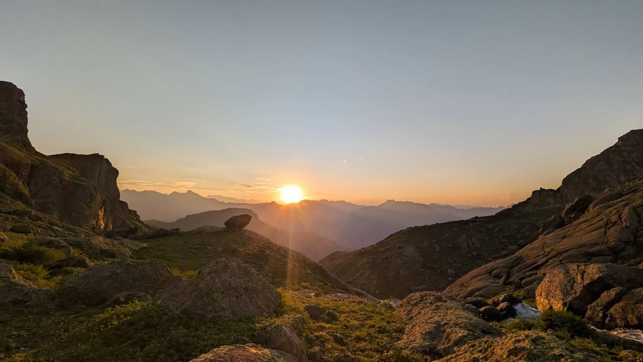
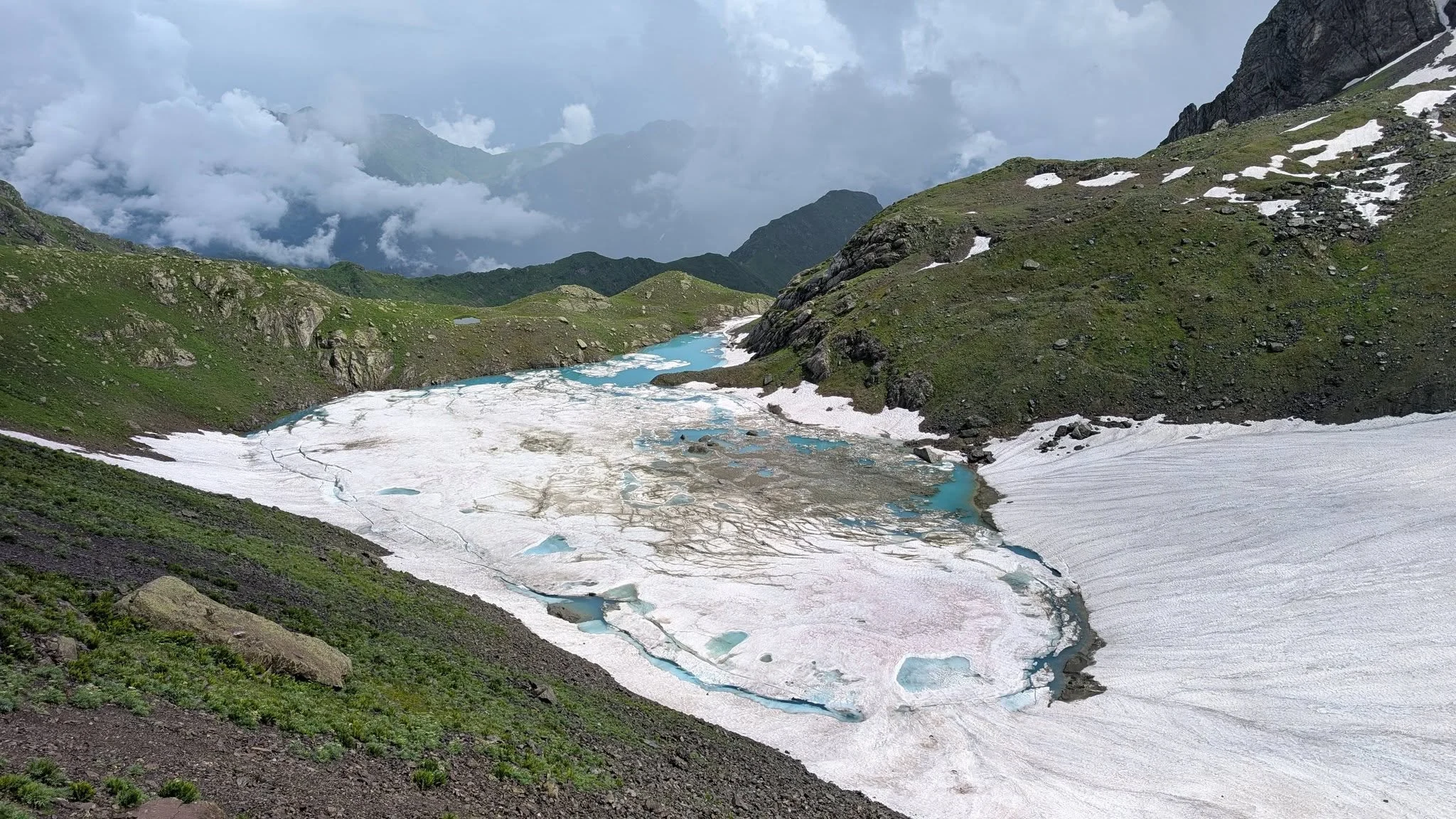
The big day, and we start early to get the pass done before the cloud builds. A steady climb of four hundred metres over loose ground brings you to the highest point of the trek at 2,900 metres, with the Egrisi ridge running east and west and, if the air is clear, the Svaneti peaks standing behind it. Then down the other side to Okhoje Tobavarchkhili at 2,650 metres — the larger of the two lakes, and the one worth swimming in if you can stand the cold. Afternoon free at camp.
Walk 6–7 h · ascent ~400 m, descent ~250 m · high point 2,900 m · camp 2,650 m
Day 4 — The upper lakes, then the start of the descent
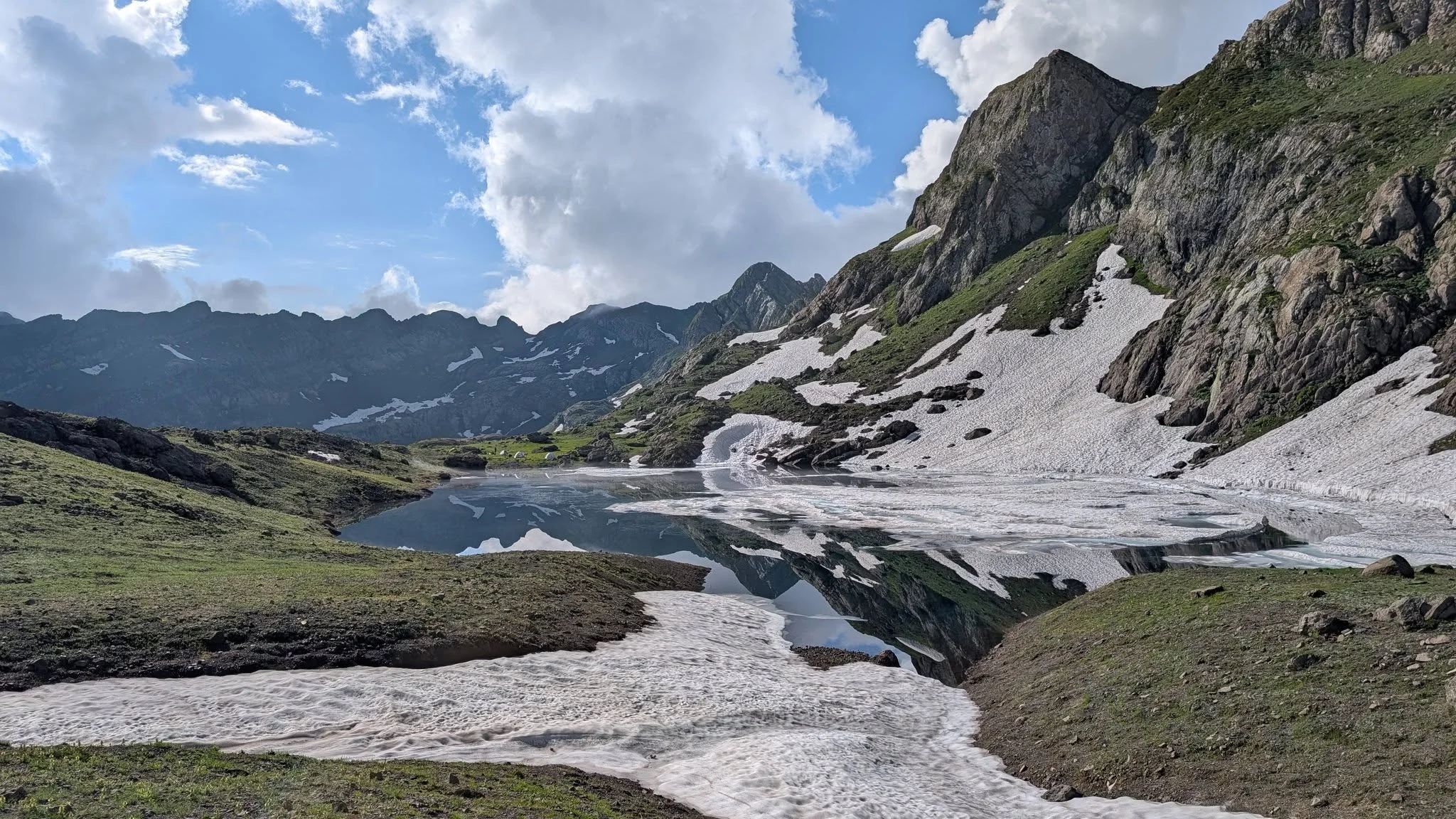
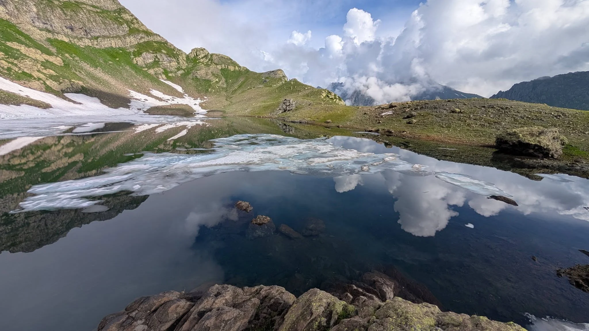
A morning among the smaller lakes above Okhoje — the pools that give the group its name of seven, most of them unnamed and some of them frozen at the edges into July. Then we turn east and begin losing height, down off the rock and into the top of the Magana valley. The change is quick: bare stone at breakfast, knee-deep grass and the first shrubs by evening. Camp in the upper valley.
Walk 6–7 h · descent ~700 m
Day 5 — Down the Magana valley to the confluence
A full day of descending beside the river, crossing it several times where the bank runs out. The valley narrows and the forest closes over the path again — beech, then chestnut, then the dense green of low Samegrelo. Camp at the confluence of the Magana and the Jalara, on the flat ground where the two rivers meet. This is your last night in a tent and the warmest of the six.
Walk 7–8 h · descent ~900 m
Day 6 — Out to Skuri and back to Tbilisi
A shorter morning on the last stretch of forest track down to Skuri, near Jvari, where a vehicle is waiting. Lunch in the village, then the long drive back east to Tbilisi. You will be home late and you will sleep well.
Walk 3–4 h · drive 7–8 h
Starting from
€2,000
per person
Locally operated since 2011
We reply within 24 hours
What your price covers
What’s included
Included
- Professional mountain guide for all six days
- Camp assistant and cook
- Transfer Tbilisi → Mukhuri, including the 4×4 leg to the trailhead
- Transfer Skuri → Tbilisi at the end of the trek
- All meals from Day 1 lunch to Day 6 lunch, cooked at camp
- Group camping equipment: tents, cooking gear and fuel, first aid kit, satellite messenger
- Drinking water — filtered or boiled from the rivers and lakes throughout
- All local taxes
Not included
- Flights to and from Georgia
- Travel and medical insurance — compulsory for this trek, and it must cover trekking to 3,000 m and helicopter evacuation
- Hotel nights in Tbilisi before or after the trek
- Personal equipment: boots, rucksack, sleeping bag, sleeping mat, waterproofs, trekking poles (hire available — tell us when you book)
- Alcohol and soft drinks
- Tips for the guide and camp crew
- Anything not listed under what the price covers
Photographs
Gallery
Where you’ll go
Map & route
Practical details
Good to know before you go
Season
July to mid-September. The 2,900 m pass holds snow into late June in most years, and by the second half of September the weather turns unreliable enough that we would not want a group of six committed to a valley with no exit.
Fitness
Six to eight hours of walking a day for five days, carrying 10–15 kg, on unmarked ground. You should be doing regular hill walking with a loaded pack before you arrive. This trek is not suitable as a first multi-day walk.
Group size
Minimum 2, maximum 8. Above eight the camps at the lakes get crowded and the pace on the pass suffers.
What you carry
Your own clothing, sleeping bag and mat, water, and a share of the group food. Tents, cooking equipment and fuel are distributed across the group. Expect 10–15 kg depending on how much of your own gear you bring.
Weather
Samegrelo is the wettest region in Georgia. Plan for rain on two days in six. Nights at the lakes drop to 3–5 °C in mid-summer and can reach freezing in early July or September. Bring a bag rated to 0 °C or lower.
Communications
There is no mobile signal between Mukhuri and Skuri. The guide carries a satellite messenger for emergencies. Tell the people at home that you will be uncontactable for six days.
Evacuation
The route is point-to-point with no road access and no easy exit between the start and the finish. In a genuine emergency the options are a helicopter or a stretcher carry, both of which take time. This is why the insurance requirement is not negotiable, and why we are careful about who we accept.
Water and food
Water comes from streams and lakes and is filtered or boiled. Meals are cooked at camp — Georgian food, simple, and plenty of it. Tell us about vegetarian, vegan or other dietary requirements when you book; all of them are workable if we know in advance.
From our travellers
Reviews
Before you book
Frequently asked questions
How hard is this trek, honestly?
It is the hardest trek we run. Not because of the altitude — 2,900 metres is modest — but because of the commitment. Six days, five nights in a tent, 10–15 kg on your back, six to eight hours of walking a day on ground with no waymarks, and no way to leave the route once you have started. If you have completed a multi-day trek in Svaneti or Tusheti and enjoyed it, you will manage this. If you have not, do one of those first.
Can I leave the trek partway through if I change my mind?
No. The route is point-to-point and there are no road-heads, villages or exit paths between Natifuro on the first night and Skuri on the last day. Once the group is past the first camp, everyone finishes. This is the single most important thing to understand before you book.
What is the accommodation?
Tents, five nights, all of them. There are no guesthouses and no huts anywhere on this route. Tents and cooking equipment are provided and shared out across the group; you bring your own sleeping bag and mat, or hire them from us.
How much will I be carrying?
Between 10 and 15 kg — your clothes, sleeping bag, mat, water, and a share of the group’s food and equipment. There are no pack horses on this route; the terrain on the pass does not allow them.
What is the best time of year to go?
July to mid-September. The pass at 2,900 metres usually holds snow until late June, and after mid-September the weather in the Egrisi Range becomes too unpredictable for a route with no exit.
Will it rain?
Probably, on two of the six days. Samegrelo is the wettest region in Georgia and this range takes the weather straight off the Black Sea. Good waterproofs and a dry change of clothes in a sealed bag are not optional here.
Is there a phone signal?
None between Mukhuri and Skuri. The guide carries a satellite messenger for emergencies. Arrange with people at home that they will not hear from you for six days.
Do I need special insurance?
Yes, and it is compulsory. Your policy must cover trekking to 3,000 metres and helicopter evacuation. We will ask to see it before departure. Given that the route has no road access, this is not a formality.
Can you cater for vegetarians or other diets?
Yes. Vegetarian, vegan and most allergy requirements are straightforward if you tell us when you book. We cannot resupply once the trek starts, so we need to know in advance rather than on the first morning.
How many people will be in the group?
Between 2 and 8. We keep the maximum at eight because the camping ground at both lakes is limited and a larger group moves too slowly on the pass.
Ready when you are
Tell us your dates and how many of you are travelling. We’ll come back within 24 hours with availability, a confirmed price, and your guide’s name.