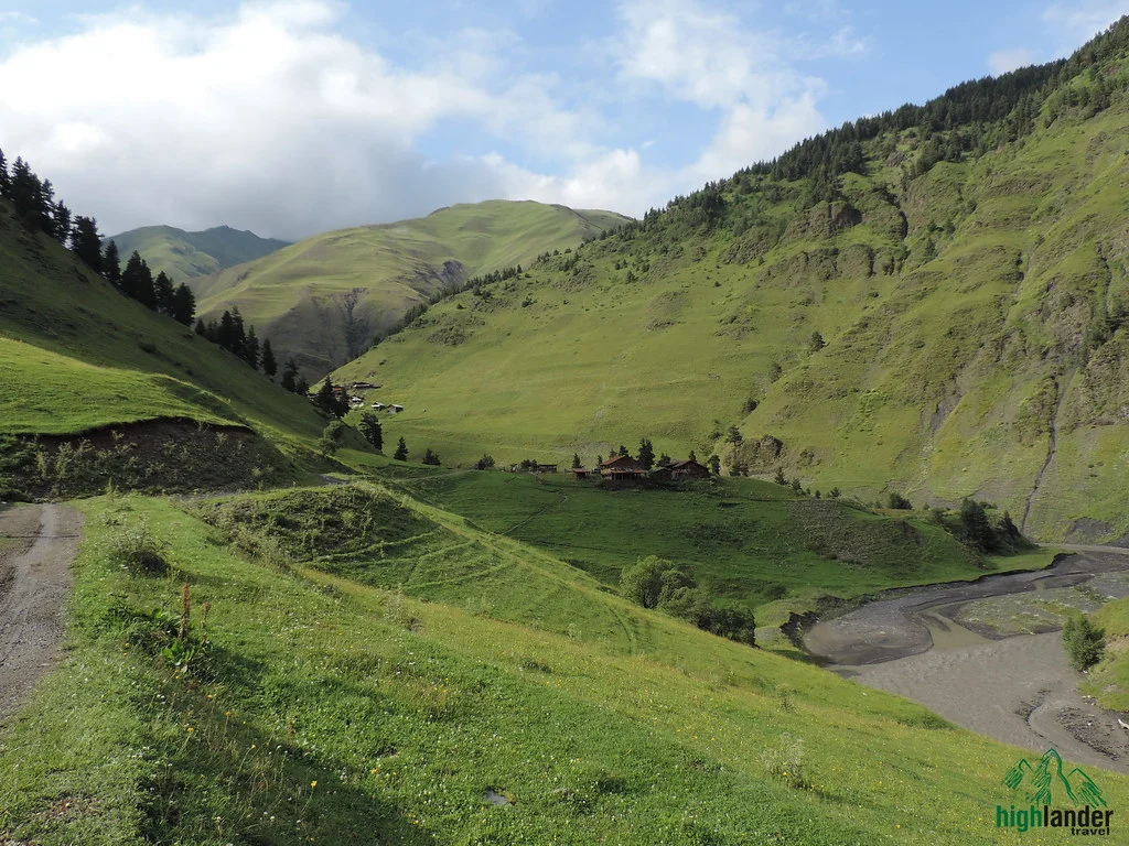
On the third morning you take your boots off and walk into a river. The Adishi is glacier melt, it runs fast, and in normal summer conditions it comes somewhere between your knee and your thigh. It takes about four minutes and it is the thing everybody photographs and everybody talks about afterwards. If the water is high, a man from the village will ferry you across on a horse for a few lari, which is either a nuisance or the best part of your holiday depending on temperament.
That is the Mestia–Ushguli trek in one paragraph: not dangerous, not technical, but not a walk in a park either. Fifty-eight kilometres over four days, a 2,700-metre pass on the third, and a bed in somebody’s family house every night.
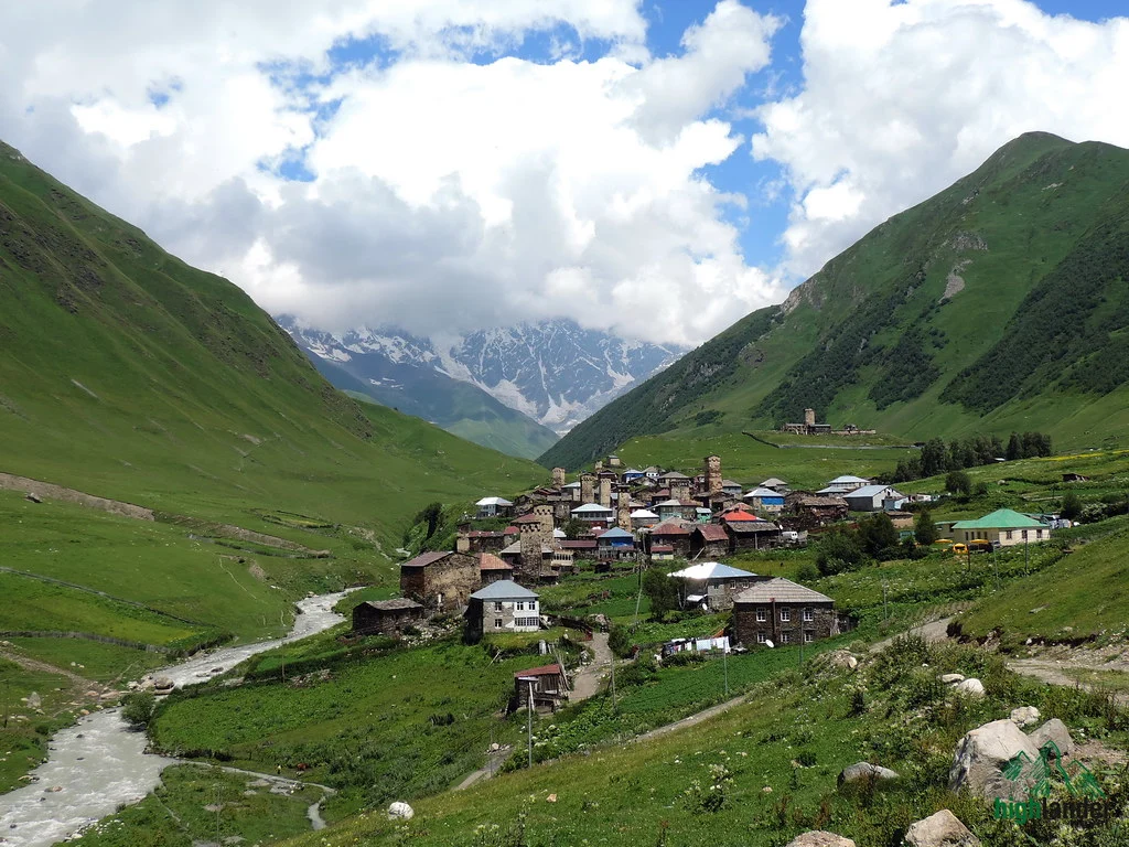
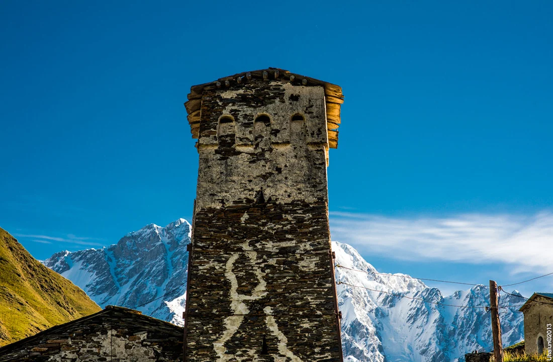
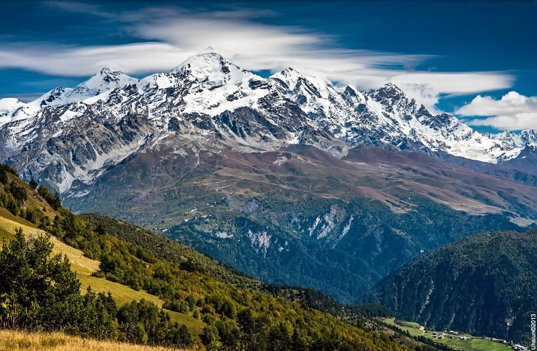
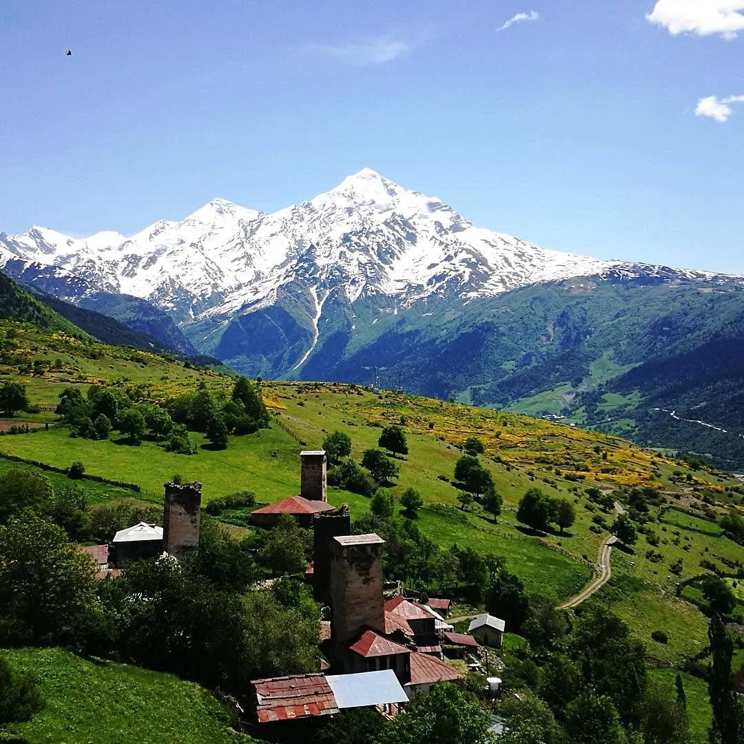
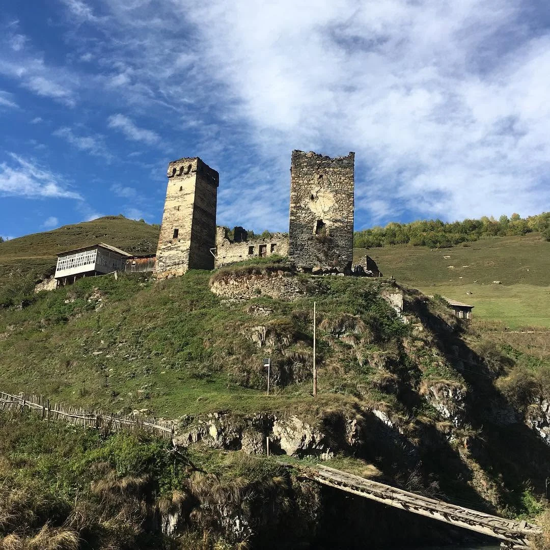
What makes it Georgia’s most-walked route is what is around you. Svaneti spent centuries cut off behind the Caucasus and developed its own language, its own architecture and a habit of building stone defence towers next to the hay barn. Whole villages of them still stand — in Zhabeshi, in Adishi, and above all in Ushguli, where four hamlets sit at 2,200 metres under the glaciers of Shkhara, Georgia’s highest mountain at 5,193 metres. Ushba, the double-headed peak the climbers call the hardest in the range, watches you for most of the first day.
Yes, other people walk it. In July and August you might pass fifty or a hundred hikers in a day, the guesthouses fill, and Ushguli gets day-trippers off the 4×4 road. It matters less than you would think. The valleys are enormous and they absorb everyone, and by mid-afternoon on any given day you are usually alone with a view.
You’ll enjoy this if you can walk twelve to eighteen kilometres a day on uneven ground with a daypack, four days running. You won’t if you have never done multi-day hiking, if a cold river crossing sounds unbearable rather than funny, or if you need a hotel at the end of the day — these are family guesthouses with shared bathrooms and no lobby.
What you’ll see
Tour highlights
- The Chkhunderi Pass on Day 3. The high point and the day people remember — a steady climb out of Adishi to around 2,700 metres, and a 360-degree view with Shkhara’s glaciers east, Tetnuldi north and the main Caucasus ridge running off in both directions.
- The Adishi river crossing. Glacial water, knee to thigh in normal conditions, four minutes, and a horse ferry when it runs high. It has a bigger reputation than it deserves and that is part of the fun.
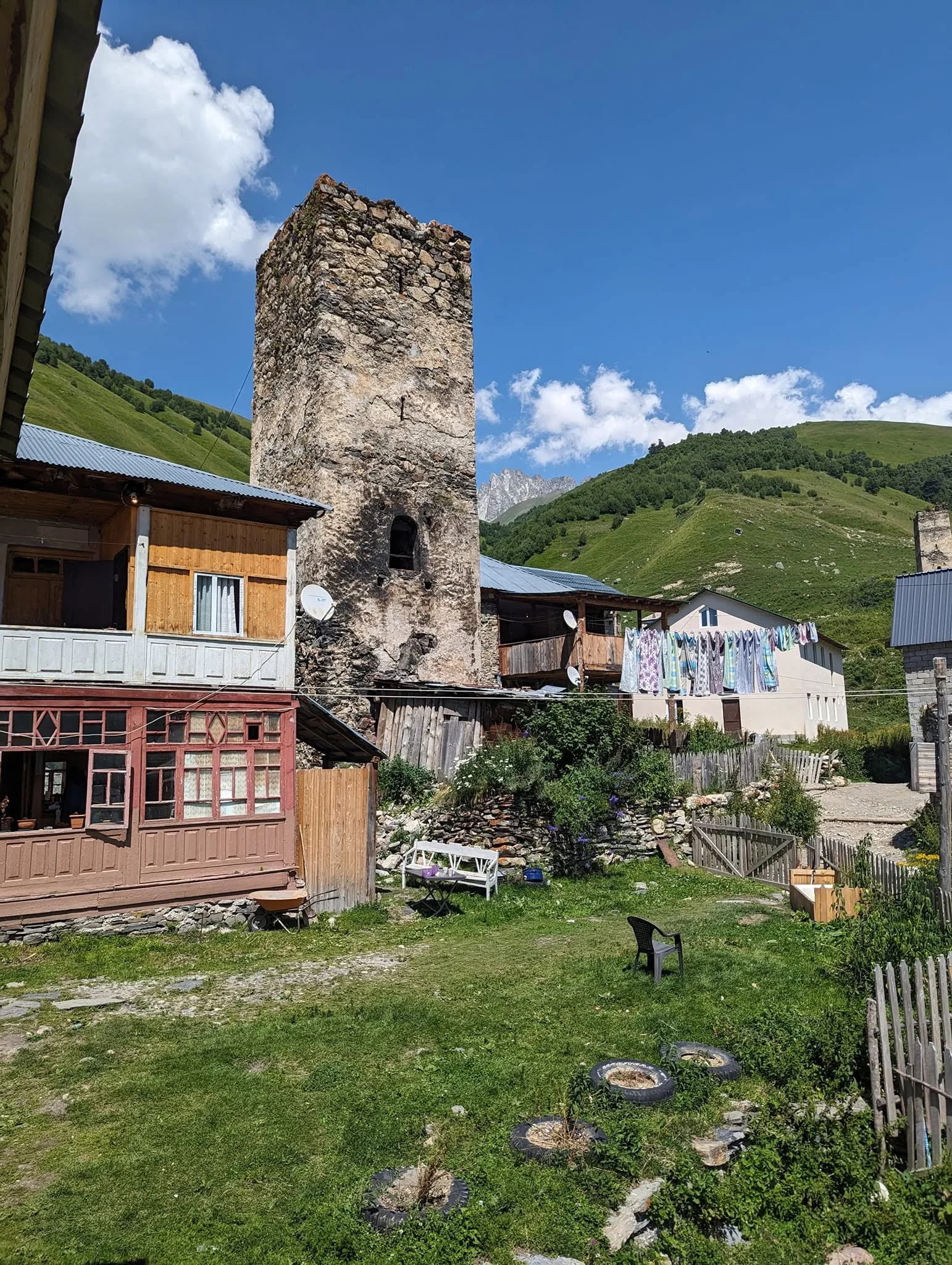
- Ushguli. Four hamlets — Murkmeli, Chazhashi, Chvibiani, Zhibiani — at 2,200 metres, one of the highest continuously inhabited places in Europe, with cows in the lanes and Shkhara filling the head of the valley.
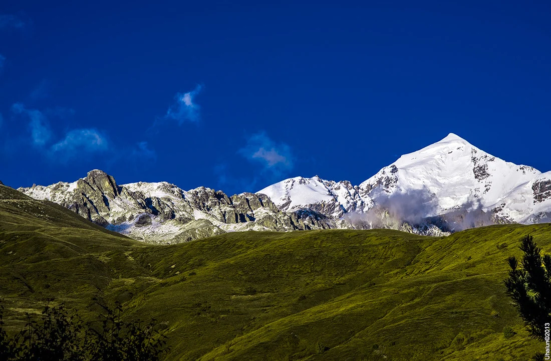
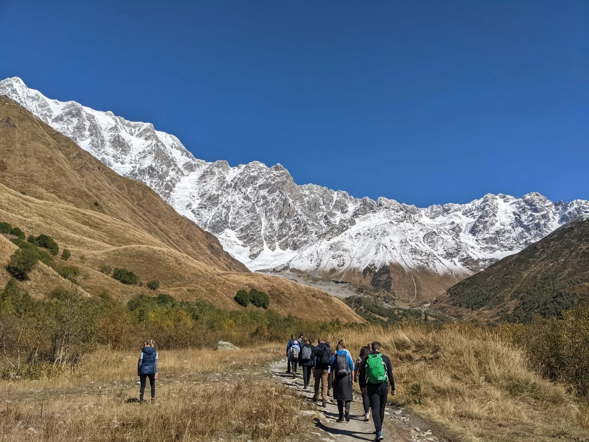
- Shkhara, 5,193 m. Georgia’s highest mountain, and one of the largest glaciers in the Caucasus pouring off it. It gets bigger every day you walk.
- Ushba, 4,710 m. The double-headed peak that mountaineers rate among the hardest in the range, in view for most of Day 1.
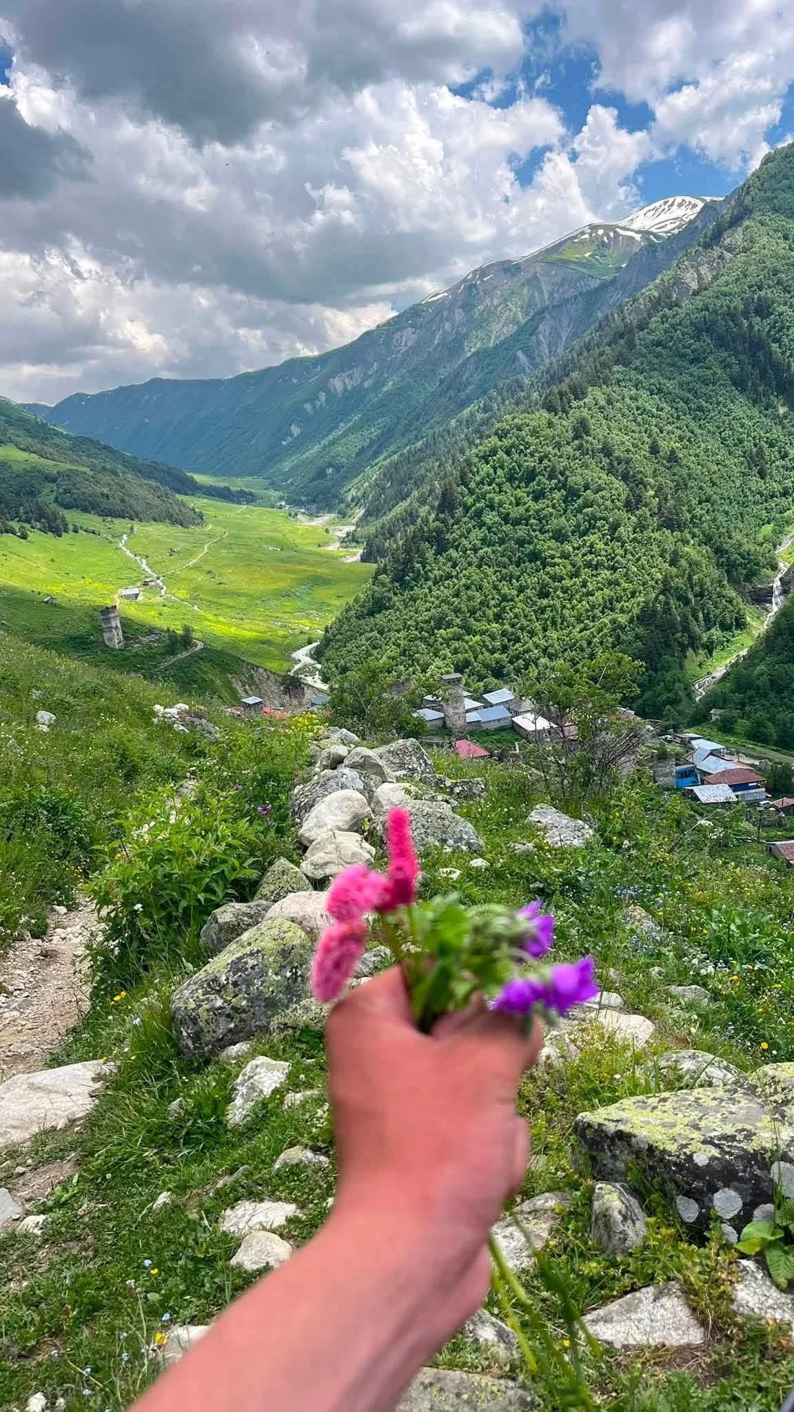
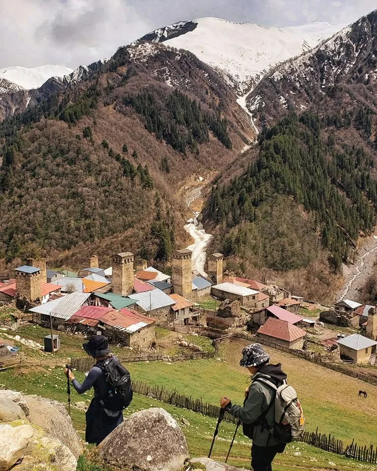
- Adishi. No road reaches it — only this trail and a rough 4×4 track — and it has kept a quality the more accessible Svan villages have lost. The tenth-century church of St George is a short walk from the guesthouses and has frescoes behind a very plain door.
- Svan tower villages, four days running. Stone defence towers beside wooden houses, in a landscape people still farm.
- The food. Kubdari — spiced meat baked in bread — and tashmijabi, cheese beaten into potato until it stretches. Both are Svan, both are better here than anywhere else in Georgia, and your guesthouse will keep refilling the plate.
Step by step
Tour itinerary
Day 1 · Mestia to Zhabeshi
16 km · 5–7 hours · +725 m / −520 m · night in a guesthouse in Zhabeshi
We start in Mestia with a briefing and a look at what everyone has packed, then head south-east on a well-marked trail that climbs gently through mixed forest and out into open meadow. Ushba appears within the first hour — two heads on one mountain, and once you have seen it you will pick it out from every ridge for the rest of the trek.
The path threads through Lakhiri, Tskhumar and Zhabeshi, each with towers standing over the wooden houses. Today is the longest day in distance and the easiest in climbing: a warm-up that lets your legs find the rhythm. You reach Zhabeshi in the late afternoon with time to walk the village before dinner — kubdari, tashmijabi, and a host who will be offended if you stop eating.
Day 2 · Zhabeshi to Adishi
12 km · 4–6 hours · +650 m / −400 m · night in a guesthouse in Adishi
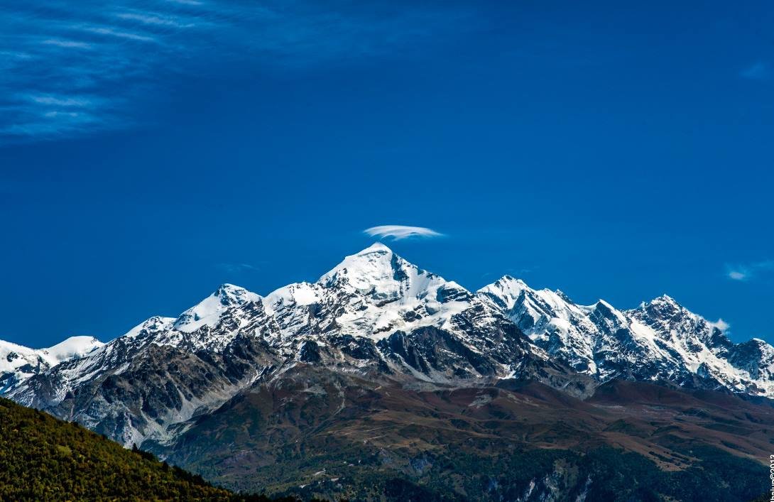
Shorter, and the scenery steps up. The trail climbs to a high point above Zhabeshi and then drops into the Adishischala valley, with Tetnuldi — 4,858 metres, rock summit, unmistakable — coming into view and staying there for two days.
The approach to Adishi is the image people remember from this day: towers on a shelf of green with the Adishi glacier hanging in the valley behind them. No road reaches the village, which is why it still feels the way it does.
There is time in the afternoon to walk up to the tenth-century church of St George. It looks like nothing from outside and has medieval frescoes within. Dinner is at one of a handful of guesthouses; outside peak season you may well be the only people staying.
Day 3 · Adishi to Iprali over the Chkhunderi Pass
18 km · 7–9 hours · +950 m / −960 m · high point about 2,700 m · night in a guesthouse in Iprali
The big day, and the reason people book this trek. It opens with the river. In normal summer conditions the Adishi is knee-to-thigh deep and cold enough to concentrate the mind; with poles and a bit of care it takes a few minutes, and your guide picks the crossing point. After a warm night the melt runs higher, and then the village horse ferry does the work for a small fee.
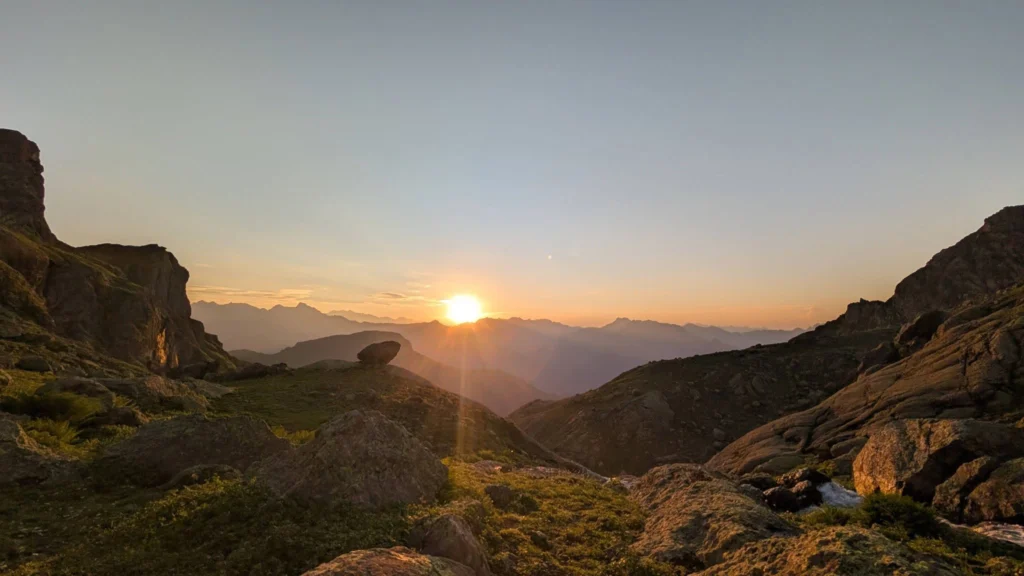
From the far bank the trail climbs steadily through alpine meadow towards the pass. The gradient is consistent and honest — never brutal, never letting up — and the view opens with every switchback. At the top you get the whole thing at once: Shkhara’s glaciers to the east, Tetnuldi north, and the main ridge of the Caucasus running away in both directions.
The descent to Iprali is long and beautiful, through meadows that are solid flowers in June. You will have earned dinner.
Day 4 · Iprali to Ushguli
12 km · 4–5 hours · +580 m / −300 m · night in a guesthouse in Mestia
The last walking day follows the Enguri upstream, and Shkhara grows with every kilometre until its glacier fills the head of the valley. Then Ushguli: four hamlets at 2,200 metres, towers rising straight out of grazing land, cows in the lanes, and a UNESCO listing that for once feels understated rather than oversold.
If you still have legs, there is an optional walk up towards the Shkhara glacier from here. Afterwards we drive back to Mestia by 4×4 — a couple of hours on a rough road, and a good way to see how far you actually walked.
Starting from
€610
per person
Locally operated since 2011
We reply within 24 hours
What your price covers
What’s included
Included
- Professional English-speaking local guide for the whole trek
- Four nights in family-run guesthouses
- All meals — four breakfasts, four packed lunches, four dinners
- Transport from Ushguli back to Mestia by 4×4
- Assistance at the Adishi river crossing, including the horse ferry if the water is high
- Route planning and navigation throughout
Not included
- Travel insurance — required, and it must cover trekking to 3,000 m plus emergency evacuation
- Transfers to and from Mestia (we can arrange these — see prices under “More info”)
- Personal trekking equipment
- Alcoholic drinks
- Tips for your guide and the guesthouse families
- Luggage transfer between villages — $350 per vehicle if you want it, which usually covers a group of two to eight
Photographs
Gallery
Where you’ll go
Map & route
Practical details
Good to know before you go
How fit do you need to be?
Moderate. Twelve to eighteen kilometres a day, four days running, on uneven ground with a daypack. Day 3 asks for about 950 metres of climb and the same again down, which is a full mountain day by any measure. There is no technical ground and no equipment beyond boots and poles, but this is not a beginner’s route. If you can walk for seven or eight hours over rough terrain and be ready to do it again tomorrow, you will be fine. If you have never done a multi-day hike, do one closer to home first.
The pass tops out around 2,700 m, which is below the height where altitude troubles most people. Previous high-altitude experience helps but is not needed.
The river, honestly
The Adishi crossing is cold glacial melt, knee to thigh deep in normal conditions, and it takes a few minutes. Poles make a real difference. Water shoes or sandals and something to keep your electronics dry are worth packing. When the melt runs high — after a warm night, or early in the season — the village runs a horse ferry for a small fee, and your guide decides which it is on the morning.
When to go
| Season | What you get |
|---|---|
| Late May – June | Wildflowers all through the meadows, the fewest people, the best light. Also the highest water in the river and possibly snow still lying on the pass. |
| July – August | The most settled weather and the easiest river crossing. Also the busiest: fifty to a hundred hikers a day on the main trail, and guesthouses that need booking ahead. |
| September – mid-October | Crowds thin sharply, autumn colour comes into the lower valleys, weather stays stable and nights get cold. Most experienced trekkers’ favourite window. |
What to bring
- Proper hiking boots, ideally waterproof, already broken in. Four days is a long way to walk in new boots.
- Trekking poles. Not optional in our view — they are what makes the river crossing straightforward and they save your knees on the descent from the pass.
- Rain shell and layers. Mountain weather changes fast in both directions, and it is a different temperature at 2,700 m than in the valley.
- Sandals or water shoes, and a dry bag for the crossing.
- Sun protection and a headlamp.
- Water for 1.5 to 2 litres. There are no shops between villages.
- No sleeping bag or cooking gear. Guesthouses provide bedding; a silk liner is a comfort, not a necessity. Pack light — you carry it all, every day.
Where you sleep and what you eat
Family guesthouses every night. Simple, clean rooms, usually shared bathrooms, hot showers in most places with the pressure and temperature you would expect at this altitude. Meals are large and very good: khachapuri, kubdari, tashmijabi, vegetables, and more bread than seems reasonable. Packed lunches come from the guesthouse. Vegetarian works with notice; tell us when you book.
Can you do it in three days?
Fit trekkers often do, by skipping the first night and going Mestia to Adishi in one push — about 28 km and nine to eleven hours. It is a hard day and entirely achievable if you know your own pace. Some people do the whole route in two, and miss most of what makes it worth walking.
Phone signal
Better than you expect in the villages — Magti and Geocell reach Mestia, Zhabeshi, Adishi and Ushguli with usable 3G or 4G. Nothing between them, particularly on the Adishi–Iprali stage. Download offline maps before you start and do not plan to navigate by phone.
Getting to Mestia
The overnight train from Tbilisi to Zugdidi leaves around 9 pm and arrives 5:30 am, connecting with the morning marshrutkas to Mestia — four hours, 30–40 GEL. Direct marshrutkas also run from Didube station in Tbilisi and take eight to ten hours.
Private transfers, per minivan for up to six people, one way: Tbilisi $300 · Kutaisi $200 · Zugdidi $120 · Batumi $270. We can arrange any of these with your booking.
Luggage
You carry your own daypack. Leave your main bag at the guesthouse in Mestia — it will be there when you come back. If you want it moved village to village, that costs $350 per vehicle, which normally covers a group of two to eight.
If the route closes
Heavy rain can make the Adishi impassable, and at the very start or end of the season avalanche risk can close the Chkhunderi Pass. When that happens your guide — a local who has walked this ground since childhood — decides the safest way to continue. Occasionally that means an extra vehicle, at extra cost. Follow their instructions; they are not being cautious for the sake of it.
From our travellers
Reviews
Before you book
Frequently asked questions
How dangerous is the Adishi river crossing?
Less than its reputation. In normal summer conditions the water is knee-to-thigh deep, cold, and crossed in a few minutes with poles and careful footing. Your guide picks the crossing point and assesses the water each morning. When the melt runs high the village operates a horse ferry for a small fee.
How hard is this trek?
Moderate. Twelve to eighteen kilometres a day for four days on uneven ground, with about 950 metres of ascent and the same descent on Day 3. No technical ground and no special equipment beyond boots and poles, but not a route for someone who has never done multi-day hiking.
Can I do it in three days instead of four?
Yes. Fit trekkers skip the first night and walk Mestia to Adishi in one day — about 28 km and nine to eleven hours. Demanding but achievable. Two days is possible for very fit hikers and misses most of the point.
What food is there on the trek?
Guesthouses provide everything — dinner, breakfast and a packed lunch. Svan cooking: bread, cheese, meat and potatoes, with kubdari and tashmijabi as the regional specialities. There are no shops or restaurants between villages, so carry snacks and at least 1.5 litres of water. Vegetarian is fine with advance notice.
Where do we sleep?
Family-run guesthouses, four nights. Simple, clean rooms, usually shared bathrooms, hot water in most places. Bedding is provided so you do not need a sleeping bag.
Is there phone signal on the trail?
In the villages, yes — Magti and Geocell reach Mestia, Zhabeshi, Adishi and Ushguli with usable coverage. Between villages, particularly Adishi to Iprali, there is none. Download offline maps rather than relying on your phone.
How crowded is it?
This is Georgia’s most-walked trail, so in July and August you may pass fifty to a hundred hikers a day and guesthouses fill up. The valleys are big enough to absorb it and the trail rarely feels busy. Shoulder season is markedly quieter.
What should I bring?
Broken-in hiking boots, trekking poles, a rain shell and layers, sun protection, a headlamp, water for 1.5–2 litres, and sandals plus a dry bag for the river. No sleeping bag or cooking equipment needed. Keep your passport and money with you rather than leaving them in Mestia.
What is the weather like?
Late May and June are cool and can be wet. July and August see less rain, though mountain weather is unpredictable and you should still pack for it — warm days, cool evenings. September nights get properly cold.
What happens if part of the route is closed?
Heavy rain can make the Adishi impassable, and avalanche risk can close the Chkhunderi Pass at the very start or end of the season. Your guide, who is local and has walked this ground for years, decides the safest way to continue — occasionally that means an extra vehicle at additional cost. Follow their call.
Ready when you are
Tell us your dates and how many of you are travelling. We’ll come back within 24 hours with availability, a confirmed price, and your guide’s name.